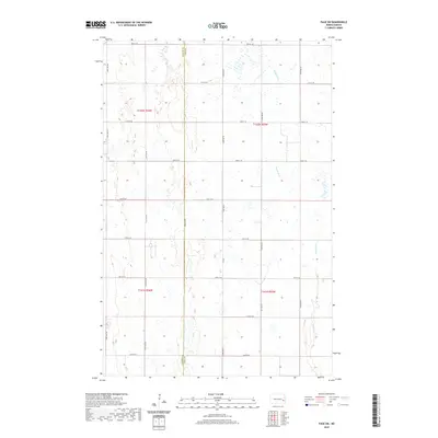
2020 Map of Page SW
USGS Topo · Published 2020About this map
The Maple River meanders through the eastern portion of this prairie landscape, defining the local hydrology along the Barnes Co Cass Co line. This 2020 survey illustrates the rigid Public Land Survey System that organizes the region, with section lines and section numbers clearly marked across townships T141N and T142N. The interior is defined by a dense grid of rural roads, including Co Rd 1, 130th Ave SE, and 28th St SE, which facilitate access to the agricultural parcels. While the map is dominated by these rectilinear boundaries, the natural drainage patterns and numerous small wetlands provide a stark contrast to the human-imposed geometry of the township and range system.
Find a feature on this map
22 named features on this map. Tap any name to fly to it.
Don’t see what you’re looking for? This feature index may not catch every label — zoom into the map to look around manually.
Map Details
Editions of this 2020 Page SW Map
This is the sole edition of this map. No revisions or reprints were ever made.
Other maps of this area

1897 · Tower
USGS Topo · 1:125,000

1952 · Grand Forks
USGS Topo · 1:250,000

1953 · Fargo
USGS Topo · 1:250,000

1956 · Fargo
USGS Topo · 1:250,000

1956 · Grand Forks
USGS Topo · 1:250,000

1966 · Grand Forks
USGS Topo · 1:250,000

1967 · Tower City
USGS Topo · 1:24,000

1967 · Pillsbury SE
USGS Topo · 1:24,000

1967 · Page SE
USGS Topo · 1:24,000

1967 · Page
USGS Topo · 1:24,000