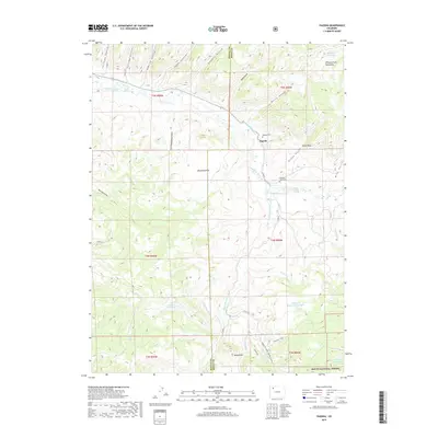
2019 Map of Pagoda
USGS Topo · Published 2019About this map
Pagoda lies at the intersection of local water systems and high country, situated near the transition from the Williams Fork Mountains to the lower elevation of Oklahoma Flat. This 2019 survey documents a landscape defined by its irrigation and livestock infrastructure, where the Peck Ditch, Highland Ditch, and Sullivan Ditch distribute water across the valley floor. The settlement pattern is sparse, concentrated near the river and historically anchored by the Pagoda Cem and Buckner-Hart Cem.
Find a feature on this map
52 named features on this map. Tap any name to fly to it.
Don’t see what you’re looking for? This feature index may not catch every label — zoom into the map to look around manually.
Map Details
Editions of this 2019 Pagoda Map
This is the sole edition of this map. No revisions or reprints were ever made.
Other maps of this area

1910 · Danforth Hills
USGS Topo · 1:125,000

1915 · Monument Butte
USGS Topo · 1:62,500

1916 · Daton Peak
USGS Topo · 1:62,500

1920 · Daton Peak
USGS Topo · 1:62,500

1954 · Craig
USGS Topo · 1:250,000

1957 · Craig
USGS Topo · 1:250,000

1958 · Craig
USGS Topo · 1:250,000

1960 · Craig
USGS Topo · 1:250,000

1962 · Craig
USGS Topo · 1:250,000

1964 · Craig
USGS Topo · 1:250,000