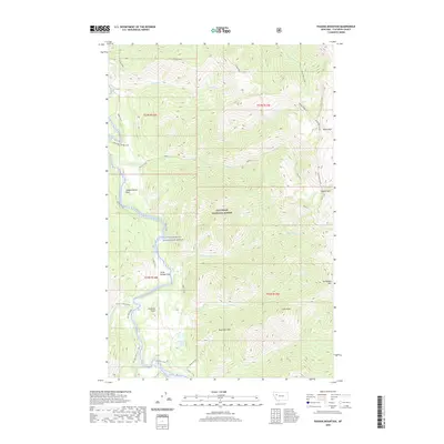
2020 Map of Pagoda Mountain
USGS Topo · Published 2020About this map
The Flathead Wild and Scenic River defines the central corridor of this wilderness landscape within the Flathead National Forest. This 2020 survey documents a high-elevation backcountry where transport is limited to primitive routes like Main S Fork and W Side S Fork. Notable river crossings such as Salmon Forks Ford and Black Bear Bridge Ford indicate established access points for travelers moving through the steep drainage basins of Damnation Cr and Little Salmon Cr.
Find a feature on this map
29 named features on this map. Tap any name to fly to it.
Don’t see what you’re looking for? This feature index may not catch every label — zoom into the map to look around manually.
Map Details
Editions of this 2020 Pagoda Mountain Map
This is the sole edition of this map. No revisions or reprints were ever made.
Other maps of this area

1936 · Silvertip
USGS Topo · 1:96,000

1942 · Silvertip
USGS Topo · 1:125,000

1955 · Choteau
USGS Topo · 1:250,000

1957 · Choteau
USGS Topo · 1:250,000

1958 · Choteau
USGS Topo · 1:250,000

1962 · Choteau
USGS Topo · 1:250,000

1970 · Big Salmon Lake East
USGS Topo · 1:24,000
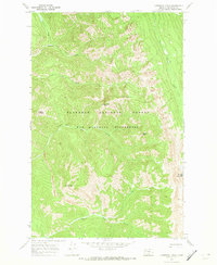
1970 · Cathedral Peak
USGS Topo · 1:24,000
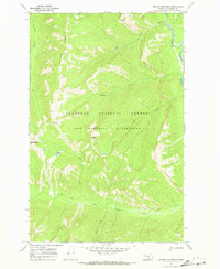
1970 · Marmot Mountain
USGS Topo · 1:24,000
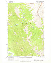
1970 · Haystack Mountain
USGS Topo · 1:24,000