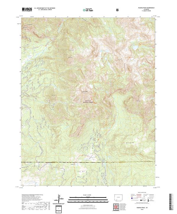
2022 Map of Pagosa Peak
USGS Topo · Published 2022About this map
Pagosa Peak dominates this high-altitude landscape within the San Juan National Forest, where the headwaters of numerous creeks carve through the Mineral and Archuleta county border. The map reveals an intricate network of drainage and water management, notably the Dutton Ditch and Dutton Pipeline, which divert water across the mountain slopes. Settlement is absent here, replaced by a system of primitive routes and specialized paths such as the Turkey Creek Trl and the Fourmile Stock Dr Trl, indicating the area's use for seasonal grazing and wilderness access. Distinctive natural landmarks like The Keyhole, Monk Rock, and Piedra Falls suggest a landscape defined by significant geological features. Higher elevations are marked by alpine water bodies including Fourmile Lake and Quien Sabe Lake, situated beneath peaks such as Spruce Mtn and Eagle Mtn.
Find a feature on this map
54 named features on this map. Tap any name to fly to it.
Don’t see what you’re looking for? This feature index may not catch every label — zoom into the map to look around manually.
Map Details
Editions of this 2022 Pagosa Peak Map
This is the sole edition of this map. No revisions or reprints were ever made.
Other maps of this area

1905 · San Cristobal
USGS Topo · 1:125,000

1907 · San Cristobal
USGS Topo · 1:125,000

1913 · Summitville
USGS Topo · 1:125,000

1914 · Creede
USGS Topo · 1:125,000

1915 · Summitville
USGS Topo · 1:125,000

1916 · Creede
USGS Topo · 1:125,000

1924 · Pagosa Springs
USGS Topo · 1:125,000

1927 · Pagosa Springs
USGS Topo · 1:125,000

1945 · Durango
USGS Topo · 1:250,000

1953 · Durango
USGS Topo · 1:250,000