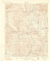
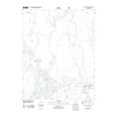
1927 Map of Pagosa Springs
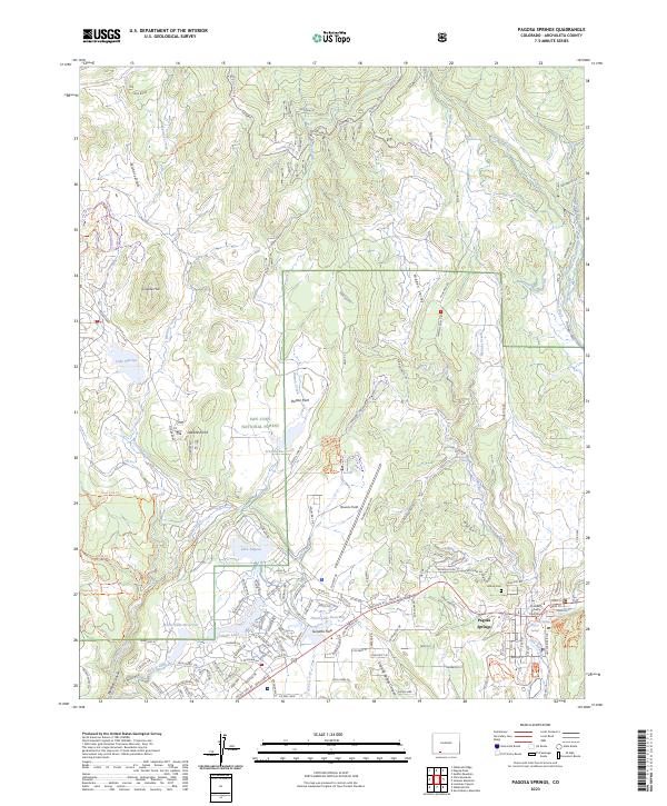
USGS Topo · Published 1949About this map
The Piedra River and San Juan River drainages define this high-altitude landscape during the mid-1920s, a period when the mountain economy relied on a network of remote ranger stations and isolated country schools. High-country landmarks like Pagosa Peak and Chimney Rock overlook a territory transitioning from the mining activity at Shamrock Mine to the timber and ranching interests that supported local hubs like Pagosa Springs.
Find a feature on this map
124 named features on this map. Tap any name to fly to it.
Don’t see what you’re looking for? This feature index may not catch every label — zoom into the map to look around manually.
Map Details
Editions of this 1927 Pagosa Springs Map
3 editions found

Historical Maps of Pagosa Springs Through Time
8 maps found
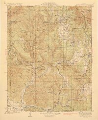
1924 Pagosa Springs
Archuleta County, CO
1927 Pagosa Springs
Archuleta County, CO
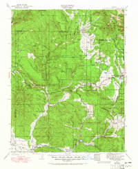
1964 Pagosa Springs
Archuleta County, CO
2011 Pagosa Springs
Archuleta County, CO
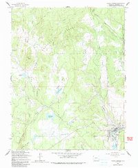
2013 Pagosa Springs
Archuleta County, CO
2016 Pagosa Springs
Archuleta County, CO
2019 Pagosa Springs
Archuleta County, CO
2023 Pagosa Springs
Archuleta County, CO