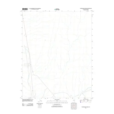
2012 Map of Pahranagat Wash
USGS Topo · Published 2012About this map
Pahranagat Wash defines the drainage pattern of this arid landscape in Lincoln County. The map documents the corridor of the modern highway 93 alongside the trace of Old Hwy 93, illustrating how transportation infrastructure has shifted over time through this desert valley. In the southern reach of the sheet, the convergence of Kane Springs Wash and the presence of Coyote Springs indicate vital water sources that have historically influenced movement and settlement in this corner of Nevada. The survey provides a clear view of the sparse natural features and the primary transit route that connects the region’s isolated basins.
Find a feature on this map
5 named features on this map. Tap any name to fly to it.
Don’t see what you’re looking for? This feature index may not catch every label — zoom into the map to look around manually.
Map Details
Editions of this 2012 Pahranagat Wash Map
This is the sole edition of this map. No revisions or reprints were ever made.
Other maps of this area

1885 · Pioche
USGS Topo · 1:250,000

1886 · Saint Thomas
USGS Topo · 1:250,000

1886 · Pioche
USGS Topo · 1:250,000

1893 · Saint Thomas
USGS Topo · 1:250,000

1907 · Las Vegas
USGS Topo · 1:250,000

1908 · Las Vegas
USGS Topo · 1:250,000

1945 · Sheep Range
USGS Topo · 1:125,000

1945 · Alamo
USGS Topo · 1:125,000

1954 · Caliente
USGS Topo · 1:250,000

1954 · Las Vegas
USGS Topo · 1:250,000