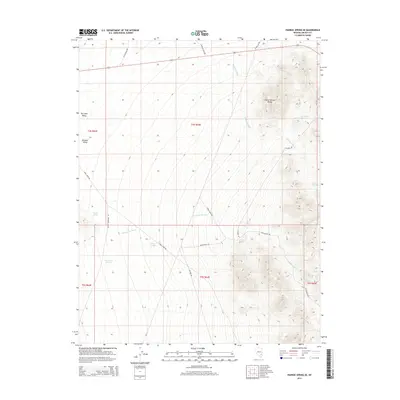
2014 Map of Pahroc Spring SE
USGS Topo · Published 2014About this map
The Burnt Springs Range dominates the eastern landscape of this Lincoln County quadrangle, providing a sharp contrast to the flat expanses of Dry Lake Valley and Delamar Valley. This arid terrain is defined by its vital water sources, with numerous named points such as Seven Oaks Spring, Hughie Spring, and Sawyer Spring marking critical locations in an otherwise parched environment. Drainage patterns are clearly visible through the winding paths of Red Rock Wash and Cottonwood Wash, which channel seasonal runoff from the higher elevations.
Find a feature on this map
25 named features on this map. Tap any name to fly to it.
Don’t see what you’re looking for? This feature index may not catch every label — zoom into the map to look around manually.
Map Details
Editions of this 2014 Pahroc Spring SE Map
This is the sole edition of this map. No revisions or reprints were ever made.
Other maps of this area

1885 · Pioche
USGS Topo · 1:250,000

1886 · Pioche
USGS Topo · 1:250,000

1954 · Caliente
USGS Topo · 1:250,000

1959 · Caliente
USGS Topo · 1:250,000

1969 · Delamar
USGS Topo · 1:24,000

1969 · Slidy Mountain
USGS Topo · 1:24,000

1969 · Delamar NW
USGS Topo · 1:24,000
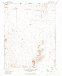
1970 · Pahroc Summit Pass
USGS Topo · 1:24,000
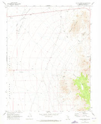
1970 · Pahroc Spring SE
USGS Topo · 1:24,000
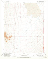
1970 · Pahroc Spring NE
USGS Topo · 1:24,000