
1969 Map of Slidy Mountain
USGS Topo · Published 1973About this map
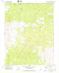
Slidy Mountain and the Delamar Mountains dominate this high-desert landscape in Lincoln County, Nevada. The 1969 survey captures an environment defined by seasonal water sources and early extraction efforts, including several Prospects and unmarked Mines tucked into the hills. At Finlay (Site), the map preserves the location of a former settlement, while Corral labels indicate the ranching activity that persisted alongside the region's mining interests.
Find a feature on this map
31 named features on this map. Tap any name to fly to it.
Don’t see what you’re looking for? This feature index may not catch every label — zoom into the map to look around manually.
Map Details
Editions of this 1969 Slidy Mountain Map
2 editions found
Other maps of this area

1885 · Pioche
USGS Topo · 1:250,000

1886 · Pioche
USGS Topo · 1:250,000

1954 · Caliente
USGS Topo · 1:250,000

1959 · Caliente
USGS Topo · 1:250,000

1969 · Delamar
USGS Topo · 1:24,000

1969 · Gregerson Basin
USGS Topo · 1:24,000

1969 · Elgin
USGS Topo · 1:24,000

1969 · Elgin NE
USGS Topo · 1:24,000

1969 · Elgin SW
USGS Topo · 1:24,000
1970 · Pahroc Spring SE
USGS Topo · 1:24,000