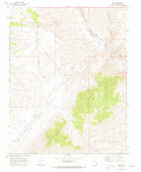
1969 Map of Elgin
USGS Topo · Published 1973About this map
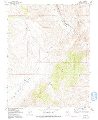
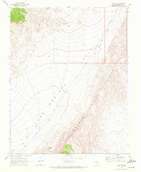
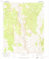
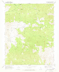
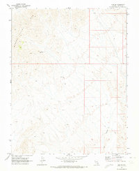
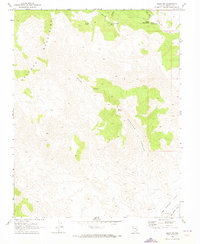
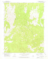
Elgin serves as the focal point of this arid Lincoln County landscape, situated where the Union Pacific railroad tracks follow the natural corridor of the Meadow Valley Wash. This geographic intersection highlights the critical role of water and transport in the high desert, as the rail line navigates the winding path of Rainbow Canyon and the broader valley floor. The eastern portion of the map is dominated by the complex terrain of the Meadow Valley Mountains, while the western side is marked by the expansive drainage of Kane Springs Wash. Evidence of local ranching and land use is sparse but distinct, indicated by several corral sites and a ford crossing the wash. The presence of a Jeep Trail cutting through the northwestern canyons reflects the area's transition toward recreational or utility access by the late 1960s, while the rugged Pennsylvania Canyon defines the northeastern boundary.
Find a feature on this map
11 named features on this map. Tap any name to fly to it.
Don’t see what you’re looking for? This feature index may not catch every label — zoom into the map to look around manually.
Map Details
Editions of this 1969 Elgin Map
2 editions found
Other maps of this area

1885 · Pioche
USGS Topo · 1:250,000

1886 · Pioche
USGS Topo · 1:250,000

1954 · Caliente
USGS Topo · 1:250,000

1959 · Caliente
USGS Topo · 1:250,000
1969 · Vigo NW
USGS Topo · 1:24,000
1969 · Elgin NE
USGS Topo · 1:24,000
1969 · Slidy Mountain
USGS Topo · 1:24,000
1969 · Vigo NE
USGS Topo · 1:24,000
1969 · Elgin SW
USGS Topo · 1:24,000
1973 · Ella Mountain
USGS Topo · 1:24,000