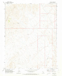
1969 Map of Vigo NE
USGS Topo · Published 1973About this map
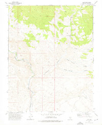
Meadow Valley Mts dominate this high-desert landscape in Lincoln County, where the topography transitions into the deep cuts of Vigo Canyon. In a region defined by its aridity, the presence of the Avertt Reservoir stands out as a critical water management feature for the era. The survey depicts a terrain primarily accessed by a network of Jeep Trails, illustrating the isolation of this corner of Nevada in the late 1960s. These trails snake through the drainages and over the ridges, providing the only infrastructure through the complex mountain and canyon systems that define the Vigo NE quadrangle.
Find a feature on this map
4 named features on this map. Tap any name to fly to it.
Don’t see what you’re looking for? This feature index may not catch every label — zoom into the map to look around manually.
Map Details
Editions of this 1969 Vigo NE Map
2 editions found
Other maps of this area

1885 · Pioche
USGS Topo · 1:250,000

1886 · Pioche
USGS Topo · 1:250,000

1954 · Caliente
USGS Topo · 1:250,000

1959 · Caliente
USGS Topo · 1:250,000

1969 · Vigo NW
USGS Topo · 1:24,000

1969 · Elgin
USGS Topo · 1:24,000
1969 · Vigo
USGS Topo · 1:24,000
1969 · Sunflower Mtn
USGS Topo · 1:24,000

1969 · Elgin SW
USGS Topo · 1:24,000
1973 · Leith
USGS Topo · 1:24,000