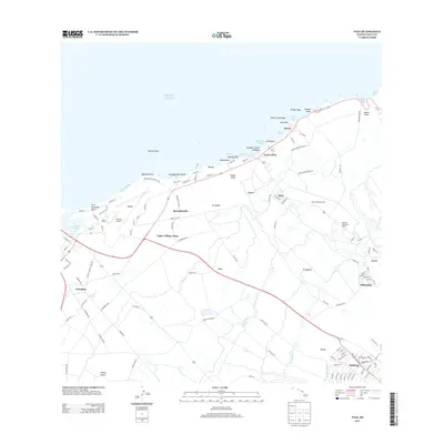
2013 Map of Paia
USGS Topo · Published 2013About this map
Spreckelsville and the surrounding sugar-growing landscape define this coastal section of Maui, where historical irrigation systems still mark the terrain. The presence of several ditch systems, including Lowrie Ditch, Kauhikoa Ditch, and Hamakua Ditch, underscores the area's agricultural legacy. Settlements such as Pu'unēnē, Hāli'imaile, and Pā'ia reflect the established social and industrial centers of the central valley and North Shore. On the coastline, landmarks like Spreckelsville Beach and Hookipa Park indicate the island's transition toward recreation and tourism. The infrastructure for these sectors is supported by Kahului Airport and a network of roads like Lower Hamakuapoko Rd. Local history is further preserved in institutional sites such as the Baldwin Memorial Home and Maui Childrens Home, which serve as physical markers of the community's social development.
Find a feature on this map
125 named features on this map. Tap any name to fly to it.
Don’t see what you’re looking for? This feature index may not catch every label — zoom into the map to look around manually.
Map Details
Editions of this 2013 Paia Map
This is the sole edition of this map. No revisions or reprints were ever made.
Other maps of this area

1954 · Maui
USGS Topo · 1:250,000

1954 · Maalaea
USGS Topo · 1:24,000

1954 · Paia
USGS Topo · 1:24,000

1954 · Puu O Kali
USGS Topo · 1:24,000

1955 · Wailuku
USGS Topo · 1:24,000

1955 · Kahakuloa
USGS Topo · 1:24,000

1957 · Kilohana
USGS Topo · 1:24,000

1957 · Haiku
USGS Topo · 1:24,000

1966 · Maui
USGS Topo · 1:250,000

1974 · Maui
USGS Topo · 1:250,000