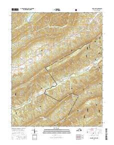
2016 Map of Paint Bank
USGS Topo · Published 2016About this map
Peters Mountain and Potts Mountain dominate this corner of the central Appalachians, marking the high-elevation boundary where West Virginia and Virginia meet. The settlement of Paint Bank sits at the base of these ridges, characterized by numerous water sources including Paint Bank Br and Bryan Cem. Further west, the community of Roxalia is situated near the shores of Moncove Lake, a significant water feature in a landscape defined by sharp ridge lines and deep hollows like Devils Hollow.
Find a feature on this map
55 named features on this map. Tap any name to fly to it.
Don’t see what you’re looking for? This feature index may not catch every label — zoom into the map to look around manually.
Map Details
Editions of this 2016 Paint Bank Map
This is the sole edition of this map. No revisions or reprints were ever made.
Other maps of this area

1887 · Lewisburg
USGS Topo · 1:125,000

1890 · Christiansburg
USGS Topo · 1:125,000

1891 · Lewisburg
USGS Topo · 1:125,000

1921 · Ronceverte
USGS Topo · 1:48,000

1923 · Ronceverte
USGS Topo · 1:62,500

1923 · Waiteville
USGS Topo · 1:62,500

1929 · Salem
USGS Topo · 1:48,000

1931 · Waiteville
USGS Topo · 1:48,000

1932 · Salem
USGS Topo · 1:62,500

1944 · Waiteville
USGS Topo · 1:62,500