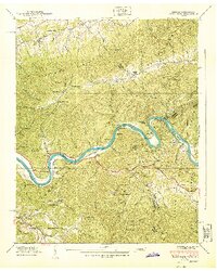
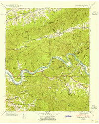
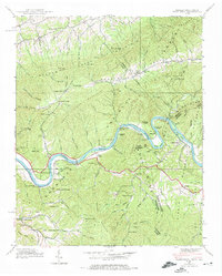
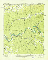
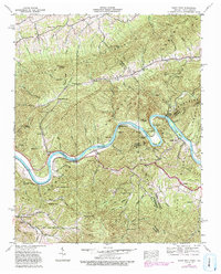
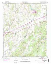
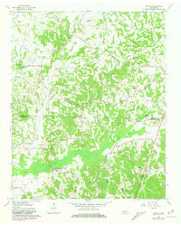
1940 Map of Paint Rock
USGS Topo · Published 1940This historical map portrays the area of Paint Rock in 1940, primarily covering Madison County as well as portions of Madison County and North Carolina. Featuring a scale of 1:24000, this map provides a highly detailed snapshot of the terrain, roads, buildings, counties, and historical landmarks in the Paint Rock region at the time. Published in 1940, it is one of 4 known editions of this map due to revisions or reprints.
Find a feature on this map
50 named features on this map. Tap any name to fly to it.
Don’t see what you’re looking for? This feature index may not catch every label — zoom into the map to look around manually.
Map Details
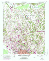
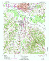
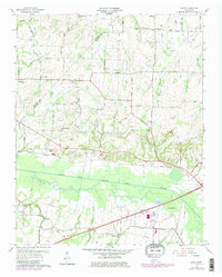
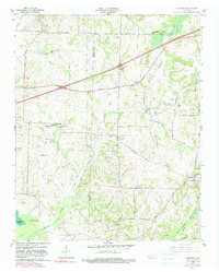
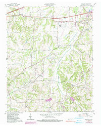
Editions of this 1940 Paint Rock Map
4 editions found
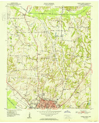
Historical Maps of Antioch Through Time
11 maps found
1935 Paint Rock
Madison County, TN
1940 Paint Rock
Madison County, TN
1950 Jackson North
Madison County, TN
1950 Jackson South
Madison County, TN
1951 Jackson North
Madison County, TN
1953 Claybrook
Madison County, TN
1959 Adair
Madison County, TN
1959 Denmark
Madison County, TN
1959 Westover
Madison County, TN
1961 Teague
Madison County, TN
1997 Jackson North
Madison County, TN