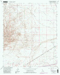
1957 Map of Painted Gorge
USGS Topo · Published 1987About this map
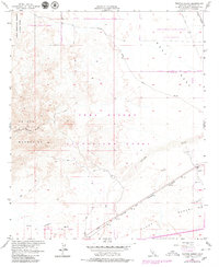
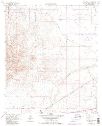
The Coyote Mountains and the colorful topography of Painted Gorge dominate this arid landscape on the edge of the Yuha Desert. This survey captures the region during a period of transition, where historical transit paths like the Old Overland Stage Route intersect with mid-century infrastructure such as the San Diego and Arizona Eastern railroad. The map reveals the extensive use of the desert for military and technological testing, evidenced by the large Recovery Parachute Test Range and the Carrizo Impact Area within the Anza Borrego Desert State Park. Along the southern washes like Coyote Wash and Palm Canyon Wash, various gravel pits and a dedicated Mining Railroad on West Mesa point to the industrial extraction of materials that fueled regional growth and development through the late 1950s.
Find a feature on this map
18 named features on this map. Tap any name to fly to it.
Don’t see what you’re looking for? This feature index may not catch every label — zoom into the map to look around manually.
Map Details
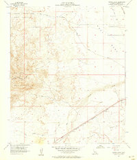
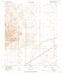
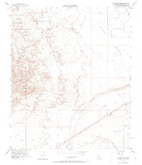
Editions of this 1957 Painted Gorge Map
6 editions found
Other maps of this area

1915 · El Centro
USGS Topo · 1:125,000

1931 · Carrizo
USGS Topo · 1:125,000

1939 · Jacumba
USGS Topo · 1:62,500

1940 · Plaster City
USGS Topo · 1:62,500

1940 · Coyote Wells
USGS Topo · 1:62,500

1942 · El Centro
USGS Topo · 1:250,000

1942 · Carrizo Mtn
USGS Topo · 1:62,500

1942 · Jacumba
USGS Topo · 1:62,500

1943 · Coyote Wells
USGS Topo · 1:62,500

1944 · Plaster City
USGS Topo · 1:62,500