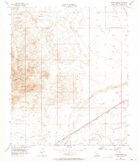
1957 Map of Painted Gorge
USGS Topo · Published 1964About this map
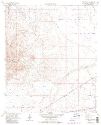
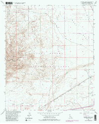
The Coyote Mountains dominate this arid landscape where steep topography transitions into the expansive West Mesa. Traces of mid-century military and industrial activity are evident throughout, notably in the Naval Reservation (Aerial Gunnery Range) and the Mining Railroad spur in the northeastern corner. Transportation history is layered here, with the Old Overland Stage Route cutting across the desert flats while the San Diego and Arizona Eastern corridor follows the southern drainage patterns. This 1957 field-checked map records a period when the desert was a primary zone for extraction and training, punctuated by several Gravel Pits and various Jeep Trails. The western reaches include a portion of Anza-Borrego Desert State Park, capturing the protected natural environment adjacent to the active geologic formations of Painted Gorge and the seasonal flows of Coyote Wash.
Find a feature on this map
17 named features on this map. Tap any name to fly to it.
Don’t see what you’re looking for? This feature index may not catch every label — zoom into the map to look around manually.
Map Details
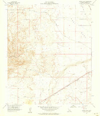
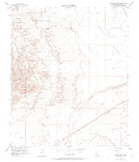
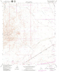
Editions of this 1957 Painted Gorge Map
6 editions found
Other maps of this area

1915 · El Centro
USGS Topo · 1:125,000

1931 · Carrizo
USGS Topo · 1:125,000

1939 · Jacumba
USGS Topo · 1:62,500

1940 · Plaster City
USGS Topo · 1:62,500

1940 · Coyote Wells
USGS Topo · 1:62,500

1942 · El Centro
USGS Topo · 1:250,000

1942 · Carrizo Mtn
USGS Topo · 1:62,500

1942 · Jacumba
USGS Topo · 1:62,500

1943 · Coyote Wells
USGS Topo · 1:62,500

1944 · Plaster City
USGS Topo · 1:62,500