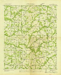
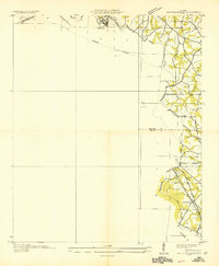
1936 Map of Painter
USGS Topo · Published 1936About this map
The boundary of Marshall Co De Kalb Co cuts across a rural landscape defined by Sand Mountain plateau agriculture and intricate creek systems in the mid-1930s. Small community hubs like Painter, Geraldine, and Crossville serve as focal points for a network of local roads that converge at rural institutions. The social fabric of the era is evidenced by numerous country churches, including Salem Ch, New Canaan Ch, and Gilbreath Chapel, alongside local education centers like Blessing Sch.
Find a feature on this map
53 named features on this map. Tap any name to fly to it.
Don’t see what you’re looking for? This feature index may not catch every label — zoom into the map to look around manually.
Map Details
Editions of this 1936 Painter Map
This is the sole edition of this map. No revisions or reprints were ever made.
Other maps of this area

1885 · Gadsden
USGS Topo · 1:125,000

1888 · Gadsden
USGS Topo · 1:125,000

1892 · Gadsden
USGS Topo · 1:125,000

1893 · Fort Payne
USGS Topo · 1:125,000

1895 · Gadsden
USGS Topo · 1:125,000
1898 · Fort Payne
USGS Topo · 1:125,000
1900 · Fort Payne
USGS Topo · 1:125,000

1903 · Gadsden
USGS Topo · 1:125,000
1936 · Crossville
USGS Topo · 1:24,000
1936 · Mountainboro
USGS Topo · 1:24,000