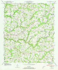
1947 Map of Painter
USGS Topo · Published 1973About this map
Sand Mountain dominates the landscape of this 1947 field examination, where rural life is defined by a dense network of country churches and family-named water crossings. Small settlements like Painter and Kilpatrick anchor a community connected by early bridges such as Colvin Bridge and Luther Bridge spanning the numerous creeks. The survey records a high density of religious landmarks, including Gilbreath Chapel, Old Macedonia Ch, and New Canaan Ch, which reflect the social fabric of De Kalb and Marshall counties shortly after the war.
Find a feature on this map
55 named features on this map. Tap any name to fly to it.
Don’t see what you’re looking for? This feature index may not catch every label — zoom into the map to look around manually.
Map Details
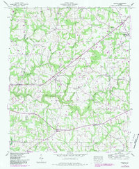
Editions of this 1947 Painter Map
2 editions found
Other maps of this area

1885 · Gadsden
USGS Topo · 1:125,000

1888 · Gadsden
USGS Topo · 1:125,000

1892 · Gadsden
USGS Topo · 1:125,000

1893 · Fort Payne
USGS Topo · 1:125,000

1895 · Gadsden
USGS Topo · 1:125,000

1898 · Fort Payne
USGS Topo · 1:125,000

1900 · Fort Payne
USGS Topo · 1:125,000

1903 · Gadsden
USGS Topo · 1:125,000

1936 · Painter
USGS Topo · 1:24,000

1936 · Crossville
USGS Topo · 1:24,000