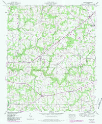
1947 Map of Painter
USGS Topo · Published 1983About this map
The boundary between Marshall and DeKalb counties divides a landscape of small agricultural settlements and rural congregations. The community of Geraldine sits near the northeastern corner, balanced by Crossville to the east and Kilpatrick to the south. Numerous creek crossings define the area's movement, including several named spans such as Green Ford Bridge, Clayton Ford Bridge, and Kirby Bridge over Scarham Creek.
Find a feature on this map
54 named features on this map. Tap any name to fly to it.
Don’t see what you’re looking for? This feature index may not catch every label — zoom into the map to look around manually.
Map Details
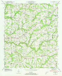
Editions of this 1947 Painter Map
2 editions found
Other maps of this area

1885 · Gadsden
USGS Topo · 1:125,000

1888 · Gadsden
USGS Topo · 1:125,000

1892 · Gadsden
USGS Topo · 1:125,000

1893 · Fort Payne
USGS Topo · 1:125,000

1895 · Gadsden
USGS Topo · 1:125,000

1898 · Fort Payne
USGS Topo · 1:125,000

1900 · Fort Payne
USGS Topo · 1:125,000

1903 · Gadsden
USGS Topo · 1:125,000

1936 · Painter
USGS Topo · 1:24,000

1936 · Crossville
USGS Topo · 1:24,000