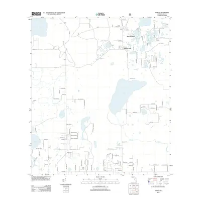
2012 Map of Paisley
USGS Topo · Published 2012About this map
Ponceannah Cem and the surrounding pine-dominated wetlands of Lake County characterize this pocket of Florida's interior. The landscape is defined by an intricate network of sinkhole lakes and drainage basins, with the large Lake Norris and Lake Dorr serving as major hydrological landmarks. Settlement is concentrated in small communities like Blue Lakes Ridge and Johnsons Corner, where residential streets often terminate at lakefronts. Cultural and recreational footprints are evident at Camp La-No-Che and the Central Florida Bible Camp, suggesting a region historically dedicated to organized camps and outdoor retreats. The Presence of the Paisley Lookout Tower and numerous Forest Service roads, including NFS 572 and NFS 545, indicate the ongoing management of the surrounding timber and conservation lands that border the residential clusters.
Find a feature on this map
136 named features on this map. Tap any name to fly to it.
Don’t see what you’re looking for? This feature index may not catch every label — zoom into the map to look around manually.
Map Details
Editions of this 2012 Paisley Map
This is the sole edition of this map. No revisions or reprints were ever made.
Other maps of this area

1954 · Daytona Beach
USGS Topo · 1:250,000

1955 · Orlando
USGS Topo · 1:250,000

1957 · Orlando
USGS Topo · 1:250,000

1958 · Orlando
USGS Topo · 1:250,000

1958 · Daytona Beach
USGS Topo · 1:250,000

1960 · Sorrento
USGS Topo · 1:24,000

1962 · Orlando
USGS Topo · 1:250,000

1962 · Pine Lakes
USGS Topo · 1:24,000

1962 · Lake Woodruff
USGS Topo · 1:24,000

1964 · Daytona Beach
USGS Topo · 1:250,000