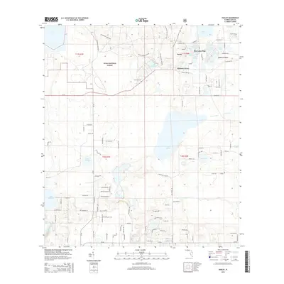
2015 Map of Paisley
USGS Topo · Published 2015About this map
Ocala National Forest dominates the western half of this 2015 landscape, where sandy ridges and pine flatwoods give way to a dense network of freshwater lakes. The settlement of Paisley and the nearby Johnsons Corner serve as the primary residential hubs, situated just south of the distinctive Blue Lakes Ridge. This area is defined by its complex hydrology, featuring the Chain O'Lakes system, including Lulu, Sidney, and Mirror Lake.
Find a feature on this map
116 named features on this map. Tap any name to fly to it.
Don’t see what you’re looking for? This feature index may not catch every label — zoom into the map to look around manually.
Map Details
Editions of this 2015 Paisley Map
This is the sole edition of this map. No revisions or reprints were ever made.
Other maps of this area

1954 · Daytona Beach
USGS Topo · 1:250,000

1955 · Orlando
USGS Topo · 1:250,000

1957 · Orlando
USGS Topo · 1:250,000

1958 · Orlando
USGS Topo · 1:250,000

1958 · Daytona Beach
USGS Topo · 1:250,000

1960 · Sorrento
USGS Topo · 1:24,000

1962 · Orlando
USGS Topo · 1:250,000

1962 · Pine Lakes
USGS Topo · 1:24,000

1962 · Lake Woodruff
USGS Topo · 1:24,000

1964 · Daytona Beach
USGS Topo · 1:250,000