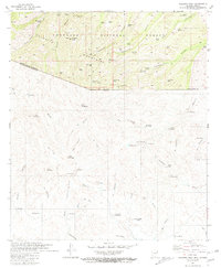
1981 Map of Pajarito Peak
USGS Topo · Published 1981About this map
Pajarito Peak dominates the northern skyline of this international boundary sheet, standing as a prominent landmark within the Coronado National Forest. This 1981 survey documents the rugged canyon country along the border of Arizona and Sonora, where the landscape is marked by a complex network of water management features including Walker Dam, Calabasas Tank, and Bull Spring. The map provides a rare look at both sides of the frontier, with the northern half detailing early mining operations such as the Sunset Mine and White Oak Mine. To the south in Mexico, the terrain transitions into a series of smaller named settlements and ranch sites, such as La Bellotosa, El Reculador, and Los Nogales (Chicón). The proximity of these outposts to the international boundary illustrates the historical ranching and mineral prospecting that defined this arid corridor during the late 20th century.
Find a feature on this map
90 named features on this map. Tap any name to fly to it.
Don’t see what you’re looking for? This feature index may not catch every label — zoom into the map to look around manually.
Map Details
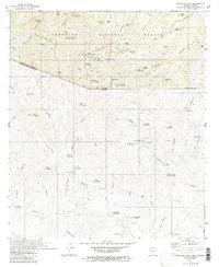
Editions of this 1981 Pajarito Peak Map
2 editions found
Other maps of this area

1905 · Nogales
USGS Topo · 1:125,000

1921 · Old Glory
USGS Topo · 1:125,000

1933 · Calabasas
USGS Topo · 1:62,500

1942 · Ruby
USGS Topo · 1:62,500

1943 · Old Glory
USGS Topo · 1:125,000

1956 · Nogales
USGS Topo · 1:250,000
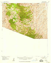
1957 · Ruby
USGS Topo · 1:62,500

1958 · Nogales
USGS Topo · 1:250,000
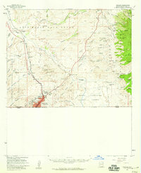
1958 · Nogales
USGS Topo · 1:62,500

1959 · Nogales
USGS Topo · 1:250,000