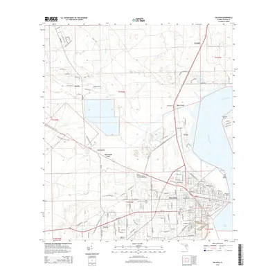
2015 Map of Palatka
USGS Topo · Published 2015About this map
The Saint Johns River defines the eastern boundary of this mid-2010s survey, where the river narrows between Forrester Point and Palatka Point. The city of Palatka serves as the regional hub, its street grid reaching from the riverfront toward the Saint Johns River Community College. To the west, the landscape shifts into a complex of wetlands and creeks, including Etonia Creek and Rice Creek, which are navigated by the Florida National Scenic Trail.
Find a feature on this map
182 named features on this map. Tap any name to fly to it.
Don’t see what you’re looking for? This feature index may not catch every label — zoom into the map to look around manually.
Map Details
Editions of this 2015 Palatka Map
This is the sole edition of this map. No revisions or reprints were ever made.
Other maps of this area

1912 · Palatka
USGS Topo · 1:48,000

1915 · Palatka
USGS Topo · 1:62,500

1915 · Interlachen
USGS Topo · 1:48,000

1916 · Interlachen
USGS Topo · 1:62,500

1942 · Ates Creek
USGS Topo · 1:62,500

1944 · Interlachen
USGS Topo · 1:62,500

1947 · Bostwick
USGS Topo · 1:50,000

1949 · Rice Creek
USGS Topo · 1:24,000

1949 · Bostwick
USGS Topo · 1:24,000

1949 · Baywood
USGS Topo · 1:24,000