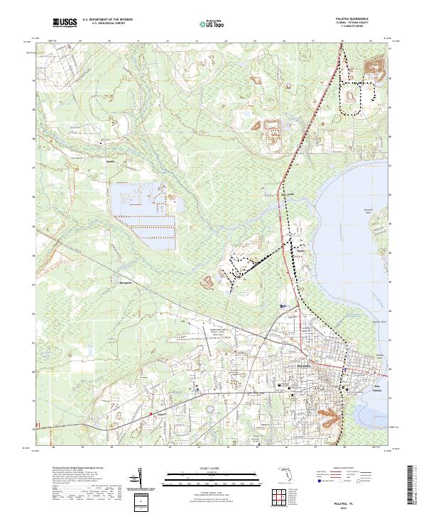
2024 Map of Palatka
USGS Topo · Published 2024About this map
The Saint Johns River defines the eastern boundary of this Putnam County landscape, where the historic city of Palatka sits at a critical bend in the waterway. The map documents the city's civic core, anchored by the Putnam County Courthouse and the sprawling campus of Saint Johns River State College. Beyond the urban grid, the geography shifts toward the wetlands of Rice Creek Swamp and Stripper Swamp, illustrating the persistent tension between development and the Florida wilderness.
Find a feature on this map
155 named features on this map. Tap any name to fly to it.
Don’t see what you’re looking for? This feature index may not catch every label — zoom into the map to look around manually.
Map Details
Editions of this 2024 Palatka Map
This is the sole edition of this map. No revisions or reprints were ever made.
Other maps of this area

1912 · Palatka
USGS Topo · 1:48,000

1915 · Palatka
USGS Topo · 1:62,500

1915 · Interlachen
USGS Topo · 1:48,000

1916 · Interlachen
USGS Topo · 1:62,500

1942 · Ates Creek
USGS Topo · 1:62,500

1944 · Interlachen
USGS Topo · 1:62,500

1947 · Bostwick
USGS Topo · 1:50,000

1949 · Rice Creek
USGS Topo · 1:24,000

1949 · Bostwick
USGS Topo · 1:24,000

1949 · Baywood
USGS Topo · 1:24,000