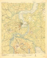
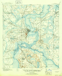
1915 Map of Palatka
USGS Topo · Published 1915About this map
Palatka and its surrounding riverfront communities define this 1915 survey of the St Johns River valley. The map documents a critical period in Florida's industrial growth, where the convergence of the Georgia Southern and Florida, Atlantic Coast Line, and Florida East Coast railroads transformed the local economy. Beyond the urban grid of Palatka Heights, the landscape is dotted with rural schools like Bardin School and Seven Pines School, alongside industrial landmarks such as Hodges Mill and Sutherlands Still.
Find a feature on this map
87 named features on this map. Tap any name to fly to it.
Don’t see what you’re looking for? This feature index may not catch every label — zoom into the map to look around manually.
Map Details
Editions of this 1915 Palatka Map
6 editions found
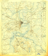
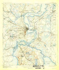
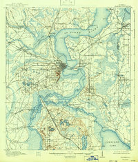
Other maps of this area

1912 · Palatka
USGS Topo · 1:48,000

1915 · Palatka
USGS Topo · 1:62,500

1915 · Interlachen
USGS Topo · 1:48,000

1916 · Interlachen
USGS Topo · 1:62,500

1937 · Elkton
USGS Topo · 1:24,000

1937 · Dinner Island
USGS Topo · 1:48,000

1942 · Ates Creek
USGS Topo · 1:62,500

1943 · St. Augustine
USGS Topo · 1:62,500

1943 · Dinner Island
USGS Topo · 1:62,500

1944 · Dinner Island
USGS Topo · 1:62,500