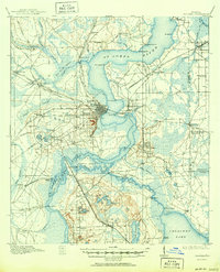
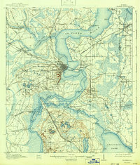
1915 Map of Palatka
USGS Topo · Published 1950About this map
The St Johns River serves as the central artery for this Putnam County region during the early twentieth century, defining the transport and settlement patterns of northeast Florida. The city of Palatka anchors the map at a strategic bend in the river, where the Florida East Coast and Atlantic Coast Line railroads converge. This rail infrastructure supports local industry, evidenced by the Lumber RR lines and the presence of Hodges Mill near Murphy Island.
Find a feature on this map
91 named features on this map. Tap any name to fly to it.
Don’t see what you’re looking for? This feature index may not catch every label — zoom into the map to look around manually.
Map Details
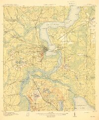
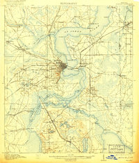
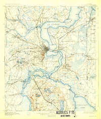
Editions of this 1915 Palatka Map
6 editions found
Other maps of this area

1912 · Palatka
USGS Topo · 1:48,000

1915 · Palatka
USGS Topo · 1:62,500

1915 · Interlachen
USGS Topo · 1:48,000

1916 · Interlachen
USGS Topo · 1:62,500

1937 · Elkton
USGS Topo · 1:24,000

1937 · Dinner Island
USGS Topo · 1:48,000

1942 · Ates Creek
USGS Topo · 1:62,500

1943 · St. Augustine
USGS Topo · 1:62,500

1943 · Dinner Island
USGS Topo · 1:62,500

1944 · Dinner Island
USGS Topo · 1:62,500