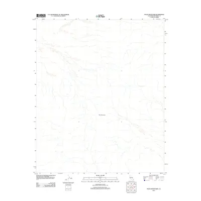
2012 Map of Palen Mountains
USGS Topo · Published 2012About this map
Palen Mountains dominate this 2012 survey, revealing the complex drainage patterns of the Colorado Desert. The landscape is defined by an intricate network of dry washes and alluvial fans that radiate from the central massif, reflecting the arid hydrology of eastern Riverside County. Produced as part of the modern US Topo series by the U.S. Geological Survey, this sheet utilizes 2010 NAIP imagery to map the stark topography of the region. The absence of roads or permanent structures within the quadrangle emphasizes the primitive nature of this terrain, providing a precise look at the natural geological formations and elevation contours prior to any significant modern desert developments.
Find a feature on this map
1 named feature on this map. Tap any name to fly to it.
Don’t see what you’re looking for? This feature index may not catch every label — zoom into the map to look around manually.
Map Details
Editions of this 2012 Palen Mountains Map
This is the sole edition of this map. No revisions or reprints were ever made.
Other maps of this area

1942 · Blythe
USGS Topo · 1:250,000

1945 · Midland
USGS Topo · 1:62,500

1952 · Midland
USGS Topo · 1:62,500

1952 · Mc Coy Spring
USGS Topo · 1:62,500

1952 · Sidewinder Well
USGS Topo · 1:62,500

1952 · Palen Mountains
USGS Topo · 1:62,500

1954 · Salton Sea
USGS Topo · 1:250,000

1955 · Salton Sea
USGS Topo · 1:250,000

1959 · Salton Sea
USGS Topo · 1:250,000

1963 · Salton Sea
USGS Topo · 1:250,000