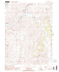
1985 Map of Palisade
USGS Topo · Published 1986About this map
The Humboldt River carves a deep path through Palisade Canyon, where the settlement of Palisade sits at a critical junction of geography and transport. This 1980s landscape is defined by the sharp transition between the Cortez Mountains and the Pinon Range, with family-named holdings like Raine Ranch and Tomera Ranch occupying the more accessible basins. The presence of a Cem near the river and the Gerald railroad point suggests the long-standing human reliance on this narrow corridor.
Find a feature on this map
36 named features on this map. Tap any name to fly to it.
Don’t see what you’re looking for? This feature index may not catch every label — zoom into the map to look around manually.
Map Details
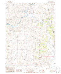
Editions of this 1985 Palisade Map
2 editions found
Other maps of this area

1952 · Pine Valley
USGS Topo · 1:62,500

1952 · Carlin
USGS Topo · 1:62,500

1955 · Winnemucca
USGS Topo · 1:250,000

1957 · Frenchie Creek
USGS Topo · 1:62,500

1957 · Beowawe
USGS Topo · 1:62,500

1958 · Winnemucca
USGS Topo · 1:250,000

1962 · Winnemucca
USGS Topo · 1:250,000
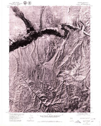
1975 · Carlin NE
USGS Topo · 1:24,000

1985 · Scotts Gulch
USGS Topo · 1:24,000
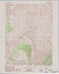
1985 · Ravens Nest
USGS Topo · 1:24,000