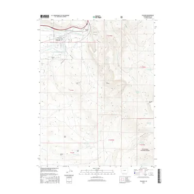
2016 Map of Palisade
USGS Topo · Published 2016About this map
The town of Palisade serves as the central hub of this 2016 survey, situated where the high desert terrain meets the irrigated agricultural lands of the Grand Valley. This specific map illustrates the intricate water management system essential to the region, showing the routes of the Highline Canal, various ditches, and the winding path of the Colorado River. The proximity of the town to the dramatic slopes of the Palisade Rim highlights the unique geography that defines this fruit-growing district. Modern infrastructure, including the Interstate 70 corridor and established residential blocks, is documented alongside the open landscapes and canyons to the east, providing a clear view of the community's footprint in the mid-2010s.
Find a feature on this map
1 named feature on this map. Tap any name to fly to it.
Don’t see what you’re looking for? This feature index may not catch every label — zoom into the map to look around manually.
Map Details
Editions of this 2016 Palisade Map
This is the sole edition of this map. No revisions or reprints were ever made.
Other maps of this area

1955 · Cameo
USGS Topo · 1:24,000

1955 · Mesa
USGS Topo · 1:24,000

1956 · Moab
USGS Topo · 1:250,000

1956 · Grand Junction
USGS Topo · 1:250,000

1959 · Grand Junction
USGS Topo · 1:250,000

1959 · Moab
USGS Topo · 1:250,000

1960 · Moab
USGS Topo · 1:250,000

1960 · Grand Junction
USGS Topo · 1:250,000

1962 · Moab
USGS Topo · 1:250,000

1962 · Grand Junction
USGS Topo · 1:250,000