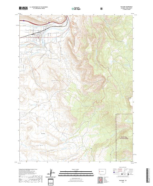
2022 Map of Palisade
USGS Topo · Published 2022About this map
The town of Palisade sits at the base of the towering cliffs where the Colorado River emerges from De Beque Canyon. This landscape is defined by its complex irrigation infrastructure, including the Government Highline Canal, Price Ditch, and Grand Valley Canal, which transformed this arid valley into a fertile orchard district. To the south, East Orchard Mesa overlooks the river valley, while the eastern portion of the map climbs sharply into the western edge of the Grand Mesa National Forest.
Find a feature on this map
72 named features on this map. Tap any name to fly to it.
Don’t see what you’re looking for? This feature index may not catch every label — zoom into the map to look around manually.
Map Details
Editions of this 2022 Palisade Map
This is the sole edition of this map. No revisions or reprints were ever made.
Other maps of this area

1955 · Cameo
USGS Topo · 1:24,000

1955 · Mesa
USGS Topo · 1:24,000

1956 · Moab
USGS Topo · 1:250,000

1956 · Grand Junction
USGS Topo · 1:250,000

1959 · Grand Junction
USGS Topo · 1:250,000

1959 · Moab
USGS Topo · 1:250,000

1960 · Moab
USGS Topo · 1:250,000

1960 · Grand Junction
USGS Topo · 1:250,000

1962 · Moab
USGS Topo · 1:250,000

1962 · Grand Junction
USGS Topo · 1:250,000