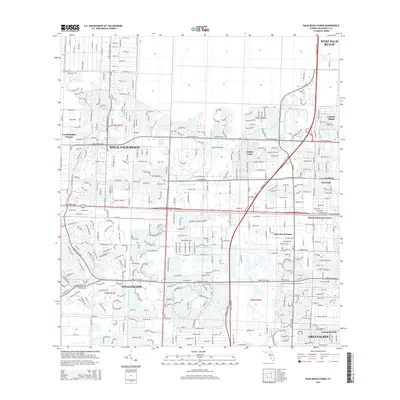
2015 Map of Palm Beach Farms
USGS Topo · Published 2015About this map
Royal Palm Beach and Wellington anchor this survey of suburban expansion in Palm Beach County during the mid-2010s. The landscape is defined by its intricate water management system, centered on the West Palm Beach Canal which cuts through the heart of the region. This network of canals and managed drainage has allowed for the dense development of communities like Golden Lakes and Century Village, characterized by their winding residential street patterns and artificial lakes.
Find a feature on this map
20 named features on this map. Tap any name to fly to it.
Don’t see what you’re looking for? This feature index may not catch every label — zoom into the map to look around manually.
Map Details
Editions of this 2015 Palm Beach Farms Map
This is the sole edition of this map. No revisions or reprints were ever made.
Other maps of this area

1945 · Delta
USGS Topo · 1:24,000

1945 · Greenacres City
USGS Topo · 1:24,000

1945 · Lake Worth
USGS Topo · 1:24,000

1946 · Riviera Beach
USGS Topo · 1:24,000

1946 · Palm Beach Farms
USGS Topo · 1:24,000

1946 · Palm Beach
USGS Topo · 1:24,000

1949 · Lake Worth
USGS Topo · 1:24,000

1949 · Palm Beach Farms
USGS Topo · 1:24,000

1949 · Riviera Beach
USGS Topo · 1:24,000

1950 · Greenacres City
USGS Topo · 1:24,000