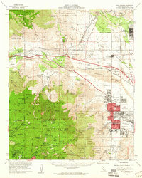
1957 Map of Palm Springs
USGS Topo · Published 1960About this map
The San Jacinto Mountains rise sharply above the desert floor, providing a dramatic vertical backdrop for the expanding city of Palm Springs and the nearby Desert Hot Springs. This survey documents the region during a period of mid-century growth, visible in the emerging street grids and schools like Stevens Sch and Smoke Tree Sch. The landscape is defined by the sharp transition from the arid sands of the Whitewater River and San Gorgonio Pass to the high-altitude forests of San Jacinto State Park.
Find a feature on this map
133 named features on this map. Tap any name to fly to it.
Don’t see what you’re looking for? This feature index may not catch every label — zoom into the map to look around manually.
Map Details
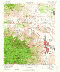
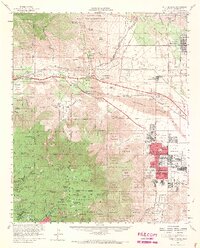
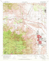
Editions of this 1957 Palm Springs Map
4 editions found
Other maps of this area

1901 · Southern California Sheet No. 1
USGS Topo · 1:250,000

1901 · San Jacinto
USGS Topo · 1:125,000

1902 · San Gorgonio
USGS Topo · 1:125,000

1904 · Indio
USGS Topo · 1:125,000

1904 · Southern California Sheet No. 1
USGS Topo · 1:250,000

1940 · Palm Springs
USGS Topo · 1:62,500

1940 · Hemet Reservoir
USGS Topo · 1:62,500

1941 · Toro Peak
USGS Topo · 1:62,500

1941 · Edom
USGS Topo · 1:62,500

1942 · Banning
USGS Topo · 1:62,500