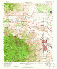
1957 Map of Palm Springs
USGS Topo · Published 1963About this map
Palm Springs and the surrounding Coachella Valley are captured here as the mid-century resort economy and suburban footprint began to expand across the desert floor. The map highlights the contrast between the growing city street grid and the ancient landscape of the San Jacinto Mountains, where a network of remote sites like Dark Canyon Camp and Fern Basin Camp served recreational travelers. In the valley, the Southern Pacific railroad runs through the San Gorgonio Pass, passing Palms Springs Station and the White Water PO. Grounded in the region's diverse heritage, the map identifies numerous schools like Smoke Tree Sch and Agua Caliente Sch, as well as the Colorado River Aqueduct, which illustrates the vital infrastructure required to support life in this arid environment before the post-war population boom reached its peak.
Find a feature on this map
128 named features on this map. Tap any name to fly to it.
Don’t see what you’re looking for? This feature index may not catch every label — zoom into the map to look around manually.
Map Details
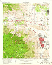
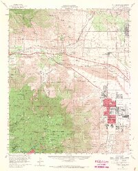
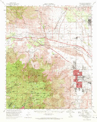
Editions of this 1957 Palm Springs Map
4 editions found
Other maps of this area

1901 · Southern California Sheet No. 1
USGS Topo · 1:250,000

1901 · San Jacinto
USGS Topo · 1:125,000

1902 · San Gorgonio
USGS Topo · 1:125,000

1904 · Indio
USGS Topo · 1:125,000

1904 · Southern California Sheet No. 1
USGS Topo · 1:250,000

1940 · Palm Springs
USGS Topo · 1:62,500

1940 · Hemet Reservoir
USGS Topo · 1:62,500

1941 · Toro Peak
USGS Topo · 1:62,500

1941 · Edom
USGS Topo · 1:62,500

1942 · Banning
USGS Topo · 1:62,500