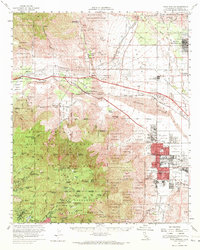
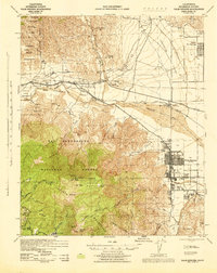
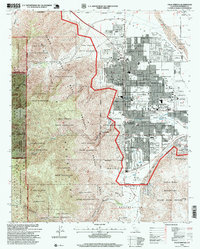
1957 Map of Palm Springs
USGS Topo · Published 1972About this map
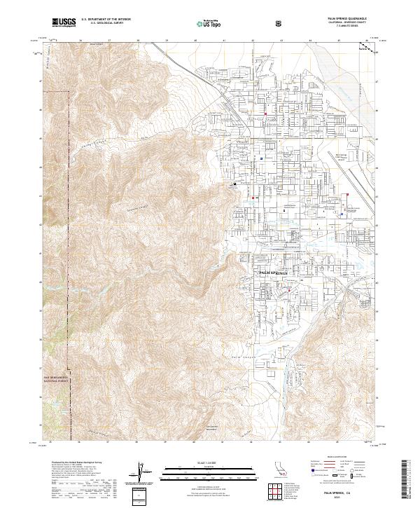
Palm Springs and the surrounding Coachella Valley are captured here during a period of significant mid-century desert development. The map details the urban grid expanding south of North Palm Springs, while the Southern Pacific railroad and the Colorado River Aqueduct underscore the vital infrastructure required to sustain growth in this arid landscape. To the north, Desert Hot Springs sits at the base of the Little San Bernardino Mountains, while the western portion of the map transitions into the high-altitude terrain of the San Bernardino National Forest. This survey provides a remarkable record of the diverse land use in the 1950s, ranging from tribal lands like the Agua Caliente Indian Reservation to remote outposts like the Whitewater Trout Farm and several recreational sites near Idyllwild, including the Riverside YMCA Camp and Black Mtn Camp.
Find a feature on this map
112 named features on this map. Tap any name to fly to it.
Don’t see what you’re looking for? This feature index may not catch every label — zoom into the map to look around manually.
Map Details
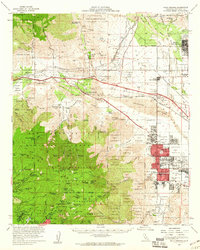
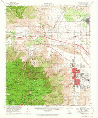
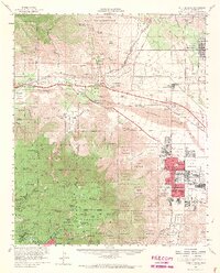
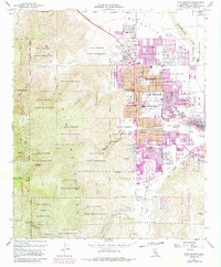
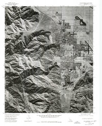
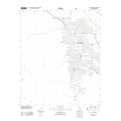
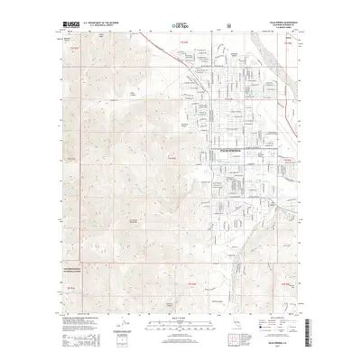
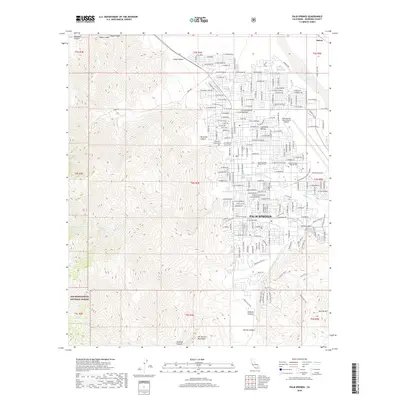
Editions of this 1957 Palm Springs Map
4 editions found
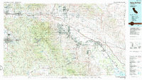
Historical Maps of Cathedral City Through Time
11 maps found

1940 Palm Springs
Riverside County, CA
1944 Palm Springs
Riverside County, CA
1957 Palm Springs
Riverside County, CA
1957 Palm Springs
Riverside County, CA
1975 Palm Springs
Riverside County, CA
1984 Palm Springs
Riverside County, CA
1996 Palm Springs
Riverside County, CA
2012 Palm Springs
Riverside County, CA
2015 Palm Springs
Riverside County, CA
2018 Palm Springs
Riverside County, CA
2021 Palm Springs
Riverside County, CA