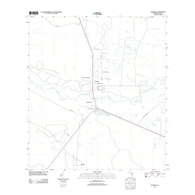
2012 Map of Palmdale
USGS Topo · Published 2012About this map
Palmdale serves as the central hub of this South Florida landscape, where the intersection of local routes and the proximity to Lykes Palmdale Airport define the local infrastructure. The terrain is deeply influenced by the winding course of Fisheating Cr, which meanders across the center of the sheet toward Rock Lake. To the south, the settlements of Harrisburg and Hall City sit along the corridors of Bermont Rd and N Island Rd, reflecting a grid-based settlement pattern that contrasts with the surrounding wetlands. This 2012 survey captures a transition in water management and flood control, evidenced by the presence of the Herbert Hoover Dyke in the southeast corner. Local landmarks like the Palmdale Lookout Tower and smaller drainage features such as Turkey Br and Gopher Gully provide essential points of reference for understanding the hydrological and transport network of Glades County.
Find a feature on this map
24 named features on this map. Tap any name to fly to it.
Don’t see what you’re looking for? This feature index may not catch every label — zoom into the map to look around manually.
Map Details
Editions of this 2012 Palmdale Map
This is the sole edition of this map. No revisions or reprints were ever made.
Other maps of this area
1953 · Brighton SW
USGS Topo · 1:24,000

1956 · West Palm Beach
USGS Topo · 1:250,000
1956 · Fort Pierce
USGS Topo · 1:250,000

1957 · West Palm Beach
USGS Topo · 1:250,000
1957 · Venus
USGS Topo · 1:24,000
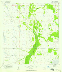
1957 · Venus SW
USGS Topo · 1:24,000
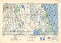
1958 · Fort Pierce
USGS Topo · 1:250,000

1958 · West Palm Beach
USGS Topo · 1:250,000
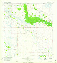
1958 · La Belle NW
USGS Topo · 1:24,000
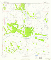
1958 · Goodno
USGS Topo · 1:24,000