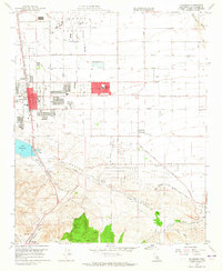
1958 Map of Palmdale
USGS Topo · Published 1965About this map
Air Force Plant 42 dominates the northern landscape of this survey, marking a period of significant military and aerospace expansion in the Antelope Valley. The town of Palmdale is shown during its mid-century growth, centered around the Southern Pacific rail line and the Sierra Highway. The map reveals the critical intersection of infrastructure and geology, with the San Andreas Rift Zone slicing across the southern portion of the quadrangle. This tectonic feature is closely shadowed by the Pearblossom Highway and old water routes like the Old Fort Tejon Road. Local life is visible through the presence of the Palmdale Cemetery, Manzanita School, and Palmdale High School. Smaller settlements such as Harold and Pearland are situated near vital water sources like Lake Palmdale and the ephemeral Barrel Springs.
Find a feature on this map
40 named features on this map. Tap any name to fly to it.
Don’t see what you’re looking for? This feature index may not catch every label — zoom into the map to look around manually.
Map Details
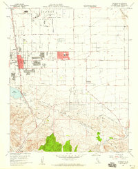
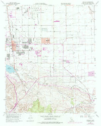
Editions of this 1958 Palmdale Map
3 editions found
Other maps of this area

1900 · Tujunga
USGS Topo · 1:62,500

1901 · Southern California Sheet No. 1
USGS Topo · 1:250,000

1903 · Rock Creek
USGS Topo · 1:62,500

1904 · Southern California Sheet No. 1
USGS Topo · 1:250,000

1915 · Elizabeth Lake
USGS Topo · 1:125,000

1917 · Elizabeth Lake
USGS Topo · 1:125,000

1930 · Little Rock
USGS Topo · 1:24,000

1930 · Lancaster
USGS Topo · 1:24,000

1930 · Pearland
USGS Topo · 1:24,000

1930 · West Alpine Butte
USGS Topo · 1:24,000