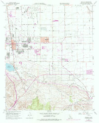
1958 Map of Palmdale
USGS Topo · Published 1975About this map
Palmdale's transition from a high-desert railway stop to a burgeoning suburban and industrial center is captured here during the mid-20th century. The northern portion is dominated by the Air Force Plant 42 Military Reservation Boundary, reflecting the region's deep ties to aerospace, while the southern landscape is defined by the striking geology of the San Andreas Rift Zone. Water infrastructure is prominent throughout the terrain, from the legacy of Barrel Springs to the modern California Aqueduct and the Soledad Siphon. Along the Southern Pacific railroad line, smaller settlements like Harold, Vincent, and Pearland provide critical context for local genealogists tracing the early footprint of the Antelope Valley before later expansion. The presence of the Palmdale Cemetery and multiple schools, such as Manzanita School and Palmdale High Sch, anchors the residential core of the community.
Find a feature on this map
35 named features on this map. Tap any name to fly to it.
Don’t see what you’re looking for? This feature index may not catch every label — zoom into the map to look around manually.
Map Details
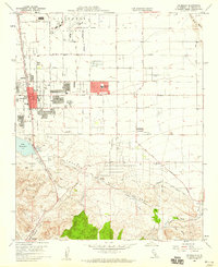
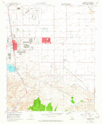
Editions of this 1958 Palmdale Map
3 editions found
Other maps of this area

1900 · Tujunga
USGS Topo · 1:62,500

1901 · Southern California Sheet No. 1
USGS Topo · 1:250,000

1903 · Rock Creek
USGS Topo · 1:62,500

1904 · Southern California Sheet No. 1
USGS Topo · 1:250,000

1915 · Elizabeth Lake
USGS Topo · 1:125,000

1917 · Elizabeth Lake
USGS Topo · 1:125,000

1930 · Little Rock
USGS Topo · 1:24,000

1930 · Lancaster
USGS Topo · 1:24,000

1930 · Pearland
USGS Topo · 1:24,000

1930 · West Alpine Butte
USGS Topo · 1:24,000