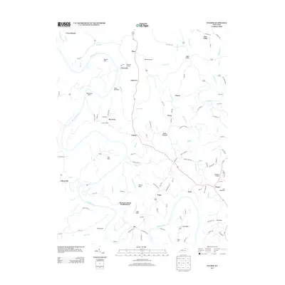
2013 Map of Palmer
USGS Topo · Published 2013About this map
The Kentucky River and Red River converge in a landscape defined by dramatic meanders and ridges, anchoring the rural communities of Palmer and Clarksville. This 2013 survey illustrates a region where transportation and settlement patterns are dictated by the winding water, evidenced by named reaches like Maupin Bend and the sharp spur of Devils Backbone. The topography rises from the riverbanks toward local heights such as Iron Mountain and Iron Mound, while the interior is dotted with established locales including Alexander School Neighborhood and Vianna. Researchers can trace the network of country roads, such as King Cemetery Rd and Ferry Rd, which connect historically significant crossing points like Cobb Ferry. The presence of the Alexander School Neighborhood suggests a community structure built around early educational centers, now preserved alongside modern developments like Hillsboro Heights.
Find a feature on this map
112 named features on this map. Tap any name to fly to it.
Don’t see what you’re looking for? This feature index may not catch every label — zoom into the map to look around manually.
Map Details
Editions of this 2013 Palmer Map
This is the sole edition of this map. No revisions or reprints were ever made.
Other maps of this area

1892 · Richmond
USGS Topo · 1:125,000

1892 · Beattyville
USGS Topo · 1:125,000

1897 · Richmond
USGS Topo · 1:125,000

1950 · Levee
USGS Topo · 1:24,000

1952 · Union City
USGS Topo · 1:24,000

1952 · Palmer
USGS Topo · 1:24,000

1952 · Clay City
USGS Topo · 1:24,000

1952 · Levee
USGS Topo · 1:24,000

1952 · Winchester
USGS Topo · 1:24,000

1952 · Irvine
USGS Topo · 1:24,000