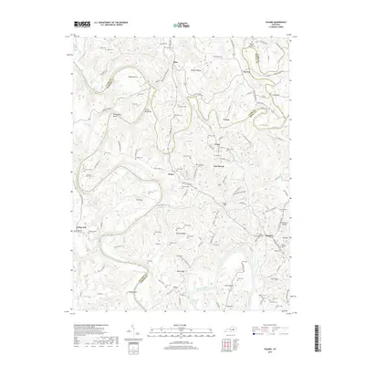
2019 Map of Palmer
USGS Topo · Published 2019About this map
The Kentucky River carves a deep path through this landscape, creating dramatic bends such as The Bend, Thornsburg Bend, and Maupin Bend. This region, where Clark, Madison, Powell, and Estill counties meet, is defined by its ridge-and-hollow topography, featuring prominent landmarks like Devils Backbone, Walters Ridge, and Iron Mtn. Local life is anchored by small settlements and historic congregations, including the Log Lick Baptist Church and College Hill Church.
Find a feature on this map
129 named features on this map. Tap any name to fly to it.
Don’t see what you’re looking for? This feature index may not catch every label — zoom into the map to look around manually.
Map Details
Editions of this 2019 Palmer Map
This is the sole edition of this map. No revisions or reprints were ever made.
Other maps of this area

1892 · Richmond
USGS Topo · 1:125,000

1892 · Beattyville
USGS Topo · 1:125,000

1897 · Richmond
USGS Topo · 1:125,000

1950 · Levee
USGS Topo · 1:24,000

1952 · Union City
USGS Topo · 1:24,000

1952 · Palmer
USGS Topo · 1:24,000

1952 · Clay City
USGS Topo · 1:24,000

1952 · Levee
USGS Topo · 1:24,000

1952 · Winchester
USGS Topo · 1:24,000

1952 · Irvine
USGS Topo · 1:24,000