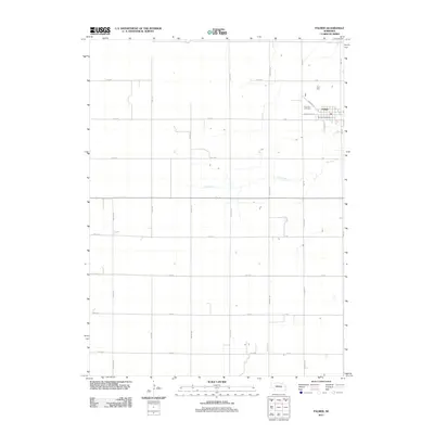
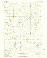
2011 Map of Palmer
USGS Topo · Published 2011About this map
Palmer serves as the primary hub of this eastern Nebraska landscape, oriented around a clean grid of streets like Warwick St and Commercial St. The village is anchored by essential local institutions, including the Palmer Post Office and Rose Hill Cemetery to the northwest. This 2011 survey by the U.S. Geological Survey captures a deeply structured agricultural region where section lines are defined by an extensive network of numeric and alphabetical routes, such as 15th Ave and W Rd. The natural geography is dominated by the meandering path of Elk Creek, which cuts across the otherwise orderly square-mile sections. The map reveals the persistent rural footprint of Merrick County, where family-named roads like Cody Rd, Brady Rd, and Arthur Rd trace the path of early homesteaders and local transport patterns through the Platte River valley hinterlands.
Find a feature on this map
31 named features on this map. Tap any name to fly to it.
Don’t see what you’re looking for? This feature index may not catch every label — zoom into the map to look around manually.
Map Details
Editions of this 2011 Palmer Map
This is the sole edition of this map. No revisions or reprints were ever made.
Other maps of this area

1899 · St. Paul
USGS Topo · 1:125,000

1955 · Belgrade SW
USGS Topo · 1:24,000

1955 · Broken Bow
USGS Topo · 1:250,000

1955 · Wolbach SW
USGS Topo · 1:24,000

1955 · Cushing
USGS Topo · 1:24,000

1956 · Broken Bow
USGS Topo · 1:250,000
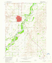
1960 · St. Paul
USGS Topo · 1:24,000
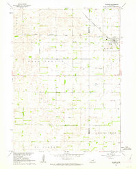
1961 · Palmer
USGS Topo · 1:24,000
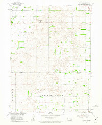
1961 · St. Paul SW
USGS Topo · 1:24,000
1961 · St. Libory
USGS Topo · 1:24,000