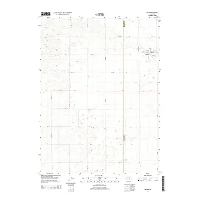
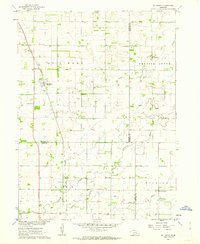
2014 Map of Palmer
USGS Topo · Published 2014About this map
Palmer serves as the primary residential hub on this prairie landscape, situated near the northeastern corner of the map. The town's grid is clearly defined by streets such as Commercial St, Upton St, and Rollins St, indicating a structured local center amidst the surrounding agricultural expanses. Just to the north, the Rose Hill Cem provides a point of genealogical interest for those tracing family roots in the Merrick County area.
Find a feature on this map
38 named features on this map. Tap any name to fly to it.
Don’t see what you’re looking for? This feature index may not catch every label — zoom into the map to look around manually.
Map Details
Editions of this 2014 Palmer Map
This is the sole edition of this map. No revisions or reprints were ever made.
Other maps of this area

1899 · St. Paul
USGS Topo · 1:125,000

1955 · Belgrade SW
USGS Topo · 1:24,000

1955 · Broken Bow
USGS Topo · 1:250,000

1955 · Wolbach SW
USGS Topo · 1:24,000

1955 · Cushing
USGS Topo · 1:24,000

1956 · Broken Bow
USGS Topo · 1:250,000
1960 · St. Paul
USGS Topo · 1:24,000
1961 · Palmer
USGS Topo · 1:24,000
1961 · St. Paul SW
USGS Topo · 1:24,000
1961 · St. Libory
USGS Topo · 1:24,000