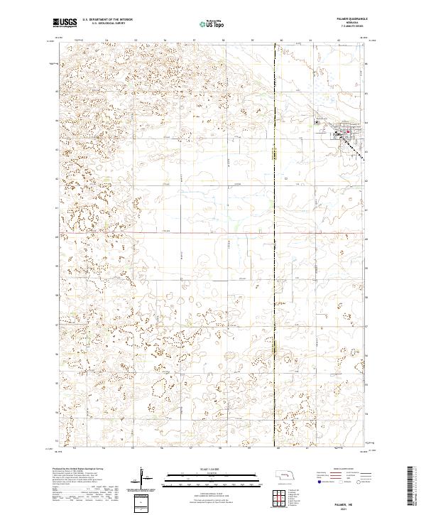
2021 Map of Palmer
USGS Topo · Published 2021About this map
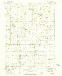
The village of Palmer sits at the intersection of the Howard and Merrick county lines, serving as a primary hub of activity in this agricultural landscape. Platted with a systematic street grid including Upton St, Valmont St, and Warwick St, the settlement is bounded to the north by the Rose Hill Cem. The surrounding terrain is defined by a dense network of numbered avenues and named section-line roads, such as Arthur Rd and Worms RD, which facilitate the movement of goods and people across the vast townships of t14n r8w and t15n r8w. The slow-moving waters of Elk Cr meander through the central portion of the map, providing a natural drainage system for the fields that dominate the area. This modern survey illustrates the persistent importance of early-century land division in shaping current Nebraska community boundaries.
Find a feature on this map
39 named features on this map. Tap any name to fly to it.
Don’t see what you’re looking for? This feature index may not catch every label — zoom into the map to look around manually.
Map Details
Editions of this 2021 Palmer Map
This is the sole edition of this map. No revisions or reprints were ever made.
Other maps of this area

1899 · St. Paul
USGS Topo · 1:125,000

1955 · Belgrade SW
USGS Topo · 1:24,000

1955 · Broken Bow
USGS Topo · 1:250,000

1955 · Wolbach SW
USGS Topo · 1:24,000

1955 · Cushing
USGS Topo · 1:24,000

1956 · Broken Bow
USGS Topo · 1:250,000
1960 · St. Paul
USGS Topo · 1:24,000
1961 · Palmer
USGS Topo · 1:24,000
1961 · St. Paul SW
USGS Topo · 1:24,000
1961 · St. Libory
USGS Topo · 1:24,000