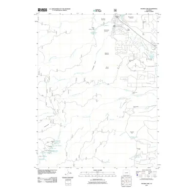
2011 Map of Palmer Lake
USGS Topo · Published 2011About this map
Palmer Lake and the adjacent community of Glen Park sit at the northern edge of this high-altitude landscape, where the waters of Monument Creek begin their journey south. The terrain is defined by dramatic geological formations and high peaks, including the prominent Sundance Mountain, Mount Herman, and the striking Cathedral Rock near Deadmans Lake. This map captures a transition between residential development and protected natural space, where established areas like Pine Crest give way to the more secluded canyons and gulches of the Front Range.
Find a feature on this map
62 named features on this map. Tap any name to fly to it.
Don’t see what you’re looking for? This feature index may not catch every label — zoom into the map to look around manually.
Map Details
Editions of this 2011 Palmer Lake Map
This is the sole edition of this map. No revisions or reprints were ever made.
Other maps of this area

1893 · Platte Canyon
USGS Topo · 1:125,000

1893 · Colorado Springs
USGS Topo · 1:125,000

1894 · Pikes Peak
USGS Topo · 1:125,000

1894 · Castle Rock
USGS Topo · 1:125,000

1901 · Pikes Peak
USGS Topo · 1:125,000

1901 · Pikes Peak
USGS Topo · 1:62,500

1909 · Colorado Springs
USGS Topo · 1:125,000

1913 · Castle Rock
USGS Topo · 1:125,000

1942 · Colorado Springs
USGS Topo · 1:125,000

1948 · Colorado Springs
USGS Topo · 1:62,500