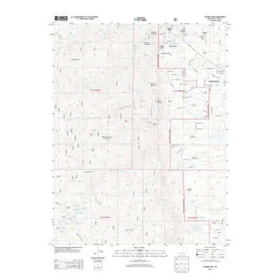
2013 Map of Palmer Lake
USGS Topo · Published 2013About this map
The town of Monument and neighboring Palmer Lake define this high-altitude landscape along the front of the Rampart Range. The transition from the developed streets of Glen Park and Pine Crest to the dense network of canyons and peaks within the Pike National Forest is immediate. The geography is punctuated by massive granite formations like Elephant Rock and Cathedral Rock, which loom over the drainages of Monument Creek and Beaver Creek.
Find a feature on this map
101 named features on this map. Tap any name to fly to it.
Don’t see what you’re looking for? This feature index may not catch every label — zoom into the map to look around manually.
Map Details
Editions of this 2013 Palmer Lake Map
This is the sole edition of this map. No revisions or reprints were ever made.
Other maps of this area

1893 · Platte Canyon
USGS Topo · 1:125,000

1893 · Colorado Springs
USGS Topo · 1:125,000

1894 · Pikes Peak
USGS Topo · 1:125,000

1894 · Castle Rock
USGS Topo · 1:125,000

1901 · Pikes Peak
USGS Topo · 1:125,000

1901 · Pikes Peak
USGS Topo · 1:62,500

1909 · Colorado Springs
USGS Topo · 1:125,000

1913 · Castle Rock
USGS Topo · 1:125,000

1942 · Colorado Springs
USGS Topo · 1:125,000

1948 · Colorado Springs
USGS Topo · 1:62,500