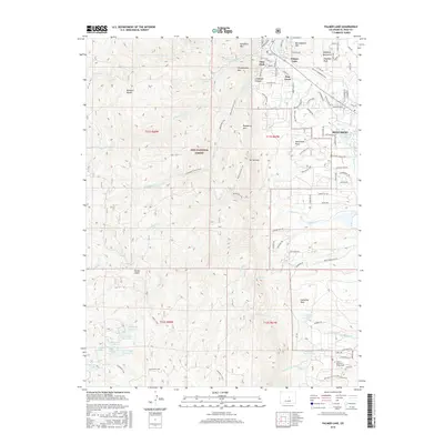
2016 Map of Palmer Lake
USGS Topo · Published 2016About this map
The Monument area and the adjacent Pike National Forest define this 2016 survey of the Colorado Front Range. The landscape is characterized by its prominent geological features, most notably Elephant Rock Arch and Cathedral Rock, alongside several residential enclaves including Glen Park and Pine Crest. This edition documents the extensive trail network that connects these communities to the high country, including the Monument Spur Trail and Monument Trail traversing Raspberry Mtn and Mt Herman.
Find a feature on this map
110 named features on this map. Tap any name to fly to it.
Don’t see what you’re looking for? This feature index may not catch every label — zoom into the map to look around manually.
Map Details
Editions of this 2016 Palmer Lake Map
This is the sole edition of this map. No revisions or reprints were ever made.
Other maps of this area

1893 · Platte Canyon
USGS Topo · 1:125,000

1893 · Colorado Springs
USGS Topo · 1:125,000

1894 · Pikes Peak
USGS Topo · 1:125,000

1894 · Castle Rock
USGS Topo · 1:125,000

1901 · Pikes Peak
USGS Topo · 1:125,000

1901 · Pikes Peak
USGS Topo · 1:62,500

1909 · Colorado Springs
USGS Topo · 1:125,000

1913 · Castle Rock
USGS Topo · 1:125,000

1942 · Colorado Springs
USGS Topo · 1:125,000

1948 · Colorado Springs
USGS Topo · 1:62,500