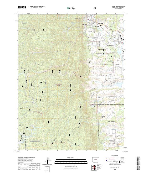
2022 Map of Palmer Lake
USGS Topo · Published 2022About this map
USAF Academy and the United States Air Force Academy grounds dominate the southeastern portion of this landscape, where the Rampart Range meets the developed corridors of El Paso County. The area is characterized by a dramatic transition from the high peaks of the Pike National Forest to the clustered settlements of Palmer Lake and Monument. Distinctive geological features like Elephant Rock, Cathedral Rock, and Sundance Mtn define the topography, while a network of alpine waters including Rainbow Lake, Sapphire Lake, and Reservoir Number Four are tucked into the higher elevations. The map details the residential expansion near Glen Park and Pine Crest, alongside specialized recreational zones like The Farish Memorial Recreational Annex. Numerous trails such as the Monument Trl and Schubarth Trl crisscross the terrain, reflecting the modern outdoor character of the Front Range.
Find a feature on this map
108 named features on this map. Tap any name to fly to it.
Don’t see what you’re looking for? This feature index may not catch every label — zoom into the map to look around manually.
Map Details
Editions of this 2022 Palmer Lake Map
This is the sole edition of this map. No revisions or reprints were ever made.
Other maps of this area

1893 · Platte Canyon
USGS Topo · 1:125,000

1893 · Colorado Springs
USGS Topo · 1:125,000

1894 · Pikes Peak
USGS Topo · 1:125,000

1894 · Castle Rock
USGS Topo · 1:125,000

1901 · Pikes Peak
USGS Topo · 1:125,000

1901 · Pikes Peak
USGS Topo · 1:62,500

1909 · Colorado Springs
USGS Topo · 1:125,000

1913 · Castle Rock
USGS Topo · 1:125,000

1942 · Colorado Springs
USGS Topo · 1:125,000

1948 · Colorado Springs
USGS Topo · 1:62,500