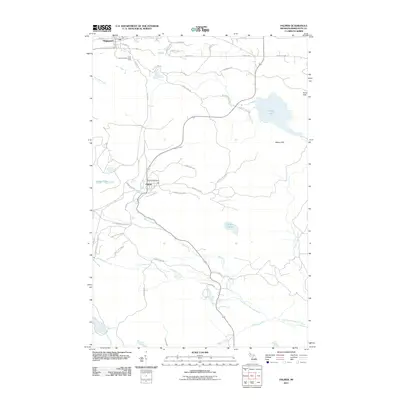
2011 Map of Palmer
USGS Topo · Published 2011About this map
Palmer and the southern edge of Negaunee anchor this study of Marquette County's interior, where the hydrology of the Upper Peninsula is on full display. The area is defined by a network of waterways including the East Branch Escanaba River, Warner Creek, and Fifteen Creek, interspersed with significant water bodies like Goose Lake and Lake Gribben. Topographic relief is provided by the Kona Hills and Wewe Hills, while several cascades, including Warner Falls, Schweitzer Falls, and Tiger Falls, highlight the shifting elevations of the local drainage basins.
Find a feature on this map
52 named features on this map. Tap any name to fly to it.
Don’t see what you’re looking for? This feature index may not catch every label — zoom into the map to look around manually.
Map Details
Editions of this 2011 Palmer Map
This is the sole edition of this map. No revisions or reprints were ever made.
Other maps of this area

1907 · Marquette
USGS Topo · 1:62,500

1932 · Harvey NW
USGS Topo · 1:31,680

1932 · Harvey SW
USGS Topo · 1:31,680

1952 · Sands
USGS Topo · 1:24,000

1952 · Ishpeming
USGS Topo · 1:62,500

1952 · Ishpeming
USGS Topo · 1:24,000

1952 · Gwinn
USGS Topo · 1:62,500

1952 · Palmer
USGS Topo · 1:24,000

1952 · Gwinn
USGS Topo · 1:24,000

1953 · Negaunee
USGS Topo · 1:24,000