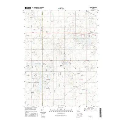
2016 Map of Palmer
USGS Topo · Published 2016About this map
Deep River flows across the northern portion of this landscape, anchoring a region defined by residential growth and several legacy burial grounds. The transition from older rural settlements like Beatrice and Sedley to established planned communities is evident in the development around Lakes of the Four Seasons, where Lake Holiday and Lake on the Green are prominent features. The map provides a detailed look at the interface between Lake and Porter counties, showing how modern corridors like Lincoln Way and the Old Lincoln Hwy overlay the historical grid.
Find a feature on this map
103 named features on this map. Tap any name to fly to it.
Don’t see what you’re looking for? This feature index may not catch every label — zoom into the map to look around manually.
Map Details
Editions of this 2016 Palmer Map
This is the sole edition of this map. No revisions or reprints were ever made.
Other maps of this area

1900 · Toleston
USGS Topo · 1:62,500

1934 · Porter
USGS Topo · 1:48,000

1940 · Porter
USGS Topo · 1:62,500

1953 · Leroy
USGS Topo · 1:24,000

1953 · Palmer
USGS Topo · 1:24,000

1953 · Gary
USGS Topo · 1:24,000

1953 · Crown Point
USGS Topo · 1:24,000

1953 · Hebron
USGS Topo · 1:24,000

1953 · Garyton
USGS Topo · 1:24,000

1953 · Valparaiso
USGS Topo · 1:24,000