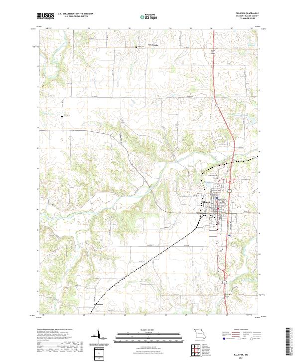
2021 Map of Palmyra
USGS Topo · Published 2021About this map
Palmyra serves as the focal point of this northeast Missouri landscape, situated near the confluence of several significant watercourses including the North River and South River. As a county seat, the town is anchored by the Marion County District Courthouse and surrounded by established local landmarks such as Greenwood Cem. The surrounding rural territory is defined by a systematic grid of county roads that connect smaller outlying settlements like Smileyville to the north and Woodland to the southwest.
Find a feature on this map
81 named features on this map. Tap any name to fly to it.
Don’t see what you’re looking for? This feature index may not catch every label — zoom into the map to look around manually.
Map Details
Editions of this 2021 Palmyra Map
This is the sole edition of this map. No revisions or reprints were ever made.
Other maps of this area

1903 · Palmyra
USGS Topo · 1:125,000

1925 · Quincy
USGS Topo · 1:62,500

1932 · Hannibal
USGS Topo · 1:62,500

1936 · Hannibal
USGS Topo · 1:48,000

1944 · Quincy
USGS Topo · 1:62,500

1945 · Hannibal
USGS Topo · 1:62,500

1945 · Quincy
USGS Topo · 1:62,500

1948 · Quincy
USGS Topo · 1:250,000

1949 · Durham
USGS Topo · 1:24,000

1949 · Maywood
USGS Topo · 1:24,000