
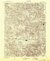
1903 Map of Palmyra
USGS Topo · Published 1903About this map
The Salt River winds through the southern reaches of this Northeast Missouri landscape, marking a region defined by its intricate river systems and early rail connectivity. In the years following the turn of the century, the Palmyra townsite serves as a primary hub of commerce, while smaller crossings and hamlets like Sharp Mills and Philadelphia dot the interior. The map illustrates a dense network of waterways including the North Fabius River, Middle Fabius River, and South Fabius River, which dictated the early settlement patterns of Marion, Lewis, and Shelby counties.
Find a feature on this map
96 named features on this map. Tap any name to fly to it.
Don’t see what you’re looking for? This feature index may not catch every label — zoom into the map to look around manually.
Map Details
Editions of this 1903 Palmyra Map
2 editions found
Other maps of this area

1890 · Louisiana
USGS Topo · 1:125,000

1890 · Mexico
USGS Topo · 1:125,000

1890 · Moberly
USGS Topo · 1:125,000

1903 · Kahoka
USGS Topo · 1:125,000

1903 · Edina
USGS Topo · 1:125,000

1925 · Quincy
USGS Topo · 1:62,500

1932 · Hannibal
USGS Topo · 1:62,500

1936 · Hannibal
USGS Topo · 1:48,000

1943 · Vandalia
USGS Topo · 1:62,500

1944 · Quincy
USGS Topo · 1:62,500