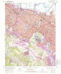
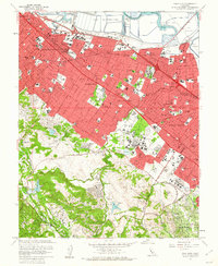
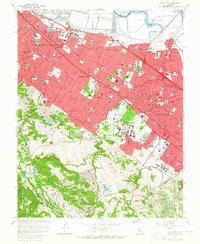
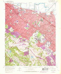
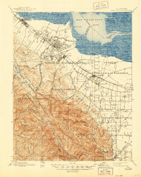
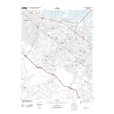
1961 Map of Palo Alto
USGS Topo · Published 1974About this map
Stanford University and its sprawling academic and athletic grounds dominate the southern portion of this mid-century landscape, featuring landmarks like the Stanford Golf Course and several large-scale scientific installations. The map documents a period of rapid suburban intensification along the Southern Pacific rail corridor, where the residential grids of Redwood City, Atherton, and Menlo Park press against the older ranch boundaries of Rancho Las Pulgas and Rancho El Corte de Madera. Purple revision tints highlight the post-war expansion of urban areas, particularly in East Palo Alto and the foothills near Los Altos Hills. To the west, the terrain rises sharply toward Jasper Ridge and Bear Gulch Reservoir, while the northeastern edge is defined by the industrial Salt Evaporators and winding tidal channels like Ravenswood Slough.
Find a feature on this map
101 named features on this map. Tap any name to fly to it.
Don’t see what you’re looking for? This feature index may not catch every label — zoom into the map to look around manually.
Map Details
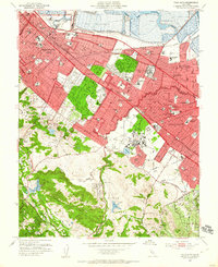
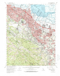
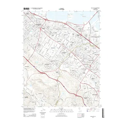
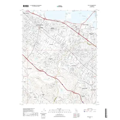
Editions of this 1961 Palo Alto Map
4 editions found
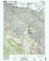
Historical Maps of Redwood City Through Time
15 maps found

1897 Palo Alto
Santa Clara County, CA
1899 Palo Alto
Santa Clara County, CA

1941 Palo Alto
Santa Clara County, CA

1943 Palo Alto
Santa Clara County, CA

1948 Palo Alto
Santa Clara County, CA
1953 Palo Alto
Santa Clara County, CA
1961 Palo Alto
Santa Clara County, CA
1961 Palo Alto
Santa Clara County, CA

1982 Palo Alto
Santa Clara County, CA

1991 Palo Alto
Santa Clara County, CA
1997 Palo Alto
Santa Clara County, CA
2012 Palo Alto
Santa Clara County, CA
2015 Palo Alto
Santa Clara County, CA
2018 Palo Alto
Santa Clara County, CA
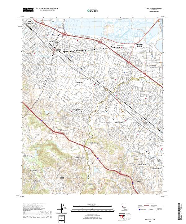
2021 Palo Alto
Santa Clara County, CA